|
Saturday, October 5th
|

Email Dan Donovan |
|
|

Call Dan Donovan |
|
|

Map & Directions
|
|
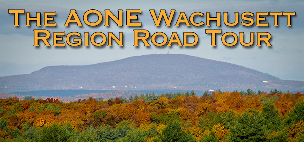
 We have again made some new twists and turns, including a new lunch spot and rest stop for this year's AONE Wachusett Region Road Tour, scheduled for October 5th, rain or shine!
VERY IMPORTANT: This year we will again meet at the TOP of Mount Wachusett. There is a small $2 entrance fee, but the view is well worth it! There are restrooms at the base visitors center if you want to stop there BEFORE joining us at the top. There are also portapotties at the summit. Coffee at 9:30; leave at 10:00AM.
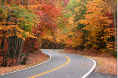 The near-peak foliage is sure to look spectacular from the summit. Departing the mountain, we’ll travel through historical Holden and Paxton centers. We’ll move on to the Oakham woodlands and into the picturesque farmlands and town commons of New Braintree and Hardwick. The near-peak foliage is sure to look spectacular from the summit. Departing the mountain, we’ll travel through historical Holden and Paxton centers. We’ll move on to the Oakham woodlands and into the picturesque farmlands and town commons of New Braintree and Hardwick.
After a brief stop to use the facilities at a winery (this is not a wine-tasting tour), we’ll continue to explore Hardwick and New Braintree, the Brookfields (North, West, East and just plain Brookfield), taking the scenic route (of course), and eventually  arriving at our new lunch spot: Carmella’s Italian Kitchen in East Brookfield. There is no prix fixe menu; everyone can simply order what they like from the menu when we arrive. arriving at our new lunch spot: Carmella’s Italian Kitchen in East Brookfield. There is no prix fixe menu; everyone can simply order what they like from the menu when we arrive.
Please contact Dan Donovan at dmdonovan1@yahoo.com or 508-340-3579 if you plan to join us, so we can let our hosts know how many to expect. Keep in mind that there is no gas near the starting point nor along the 65 mile route, so plan accordingly.
Click here to take a look at a map of the neat backroads route we've got planned! Come out and enjoy the drive and each other's company!
Directions to Wachusett Mountain
(See Map & Directions button above)
Wachusett Mountain summit can be reached from its entrance at 345 Mountain Road, Princeton, Mass. (Go to the State Park Entrance, NOT the ski area).
- Take MA Route 2 to exit 25 for Routes 2A / 140 South toward Westminister/Princeton. NOTE THAT THERE IS NO GAS at this exit. So plan to stop BEFORE this exit to gas up.
- Turn right off the ramp onto 140 S / 2A W and continue to follow 140 S for 2.4 Miles
- Turn right onto Mile Hill Rd/Park Rd which becomes Mile Hill Rd - follow for 1.1 mile
- Continue onto Mountain Rd. Continue PAST the ski area to the State Mountain Reservation entrance on the right, 0.8 mile
- Follow the summit road to the top.
See the event report
|